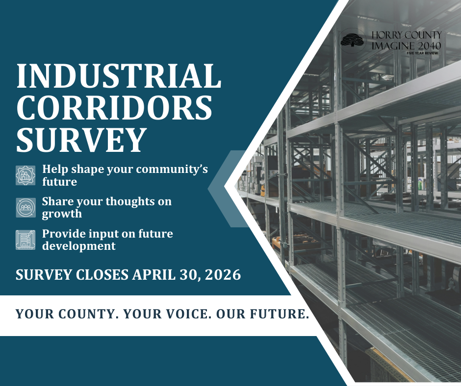
Horry County Planning & Zoning is seeking your input through the Industrial Corridors Survey as part of the IMAGINE 2040 Five-Year Review.
The survey, which is available HERE, is an opportunity for residents to help shape the future of Horry County.
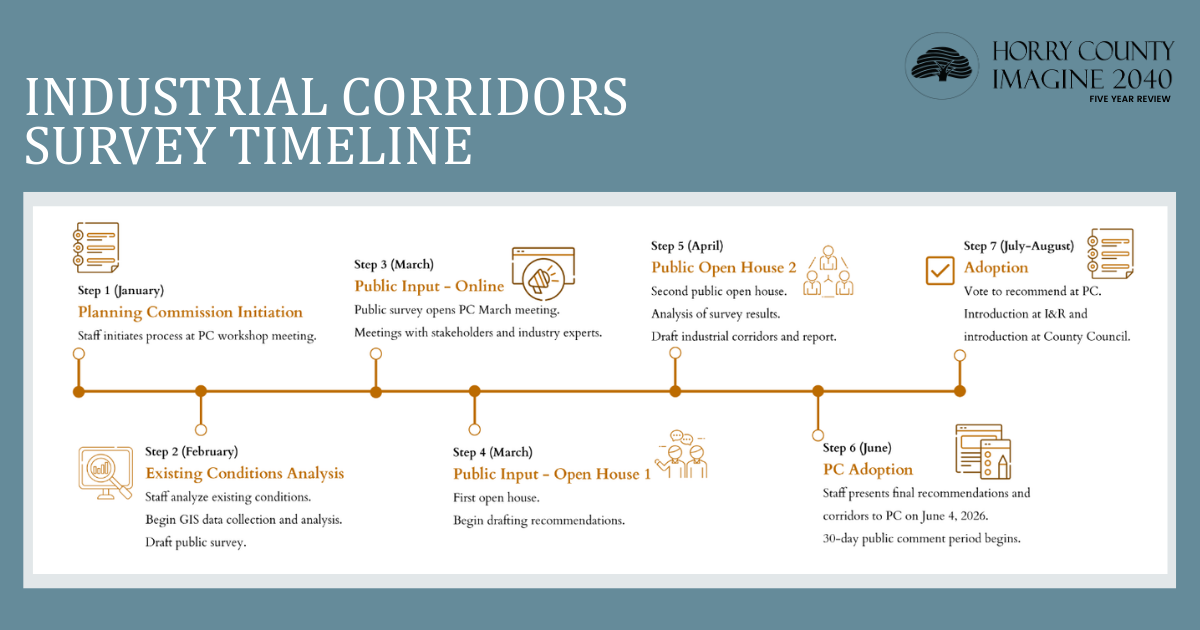
The survey is part of the public input component of Horry County’s Five Year Review of the Comprehensive Plan, also known as IMAGINE 2040.
The comments will be used to help create industrial corridors in Horry County’s Future Land Use Map to better guide the siting of industrial uses. It will designate several corridors for industrial development to decrease land use conflicts, provide guidance for industrial developers, and stimulate economic development. This survey aims to solicit input from the public and stakeholders on appropriate and inappropriate locations for these corridors.
The Future Land Use Map is a policy plan for the county's land use that indicates where various uses are encouraged or discouraged. It is not zoning and will not change the existing land uses allowed in the industrial corridors.
Horry County will take a comprehensive approach to updating and amending the Future Land Use Map including public participation, stakeholder engagement, and Planning Commission guidance.
Through the survey, residents can share thoughts and opinions on how they would like to see Horry County grow and develop.
Your input helps local government make choices that will benefit your community and quality of life. This is your county, and we want to hear your voice about the future.