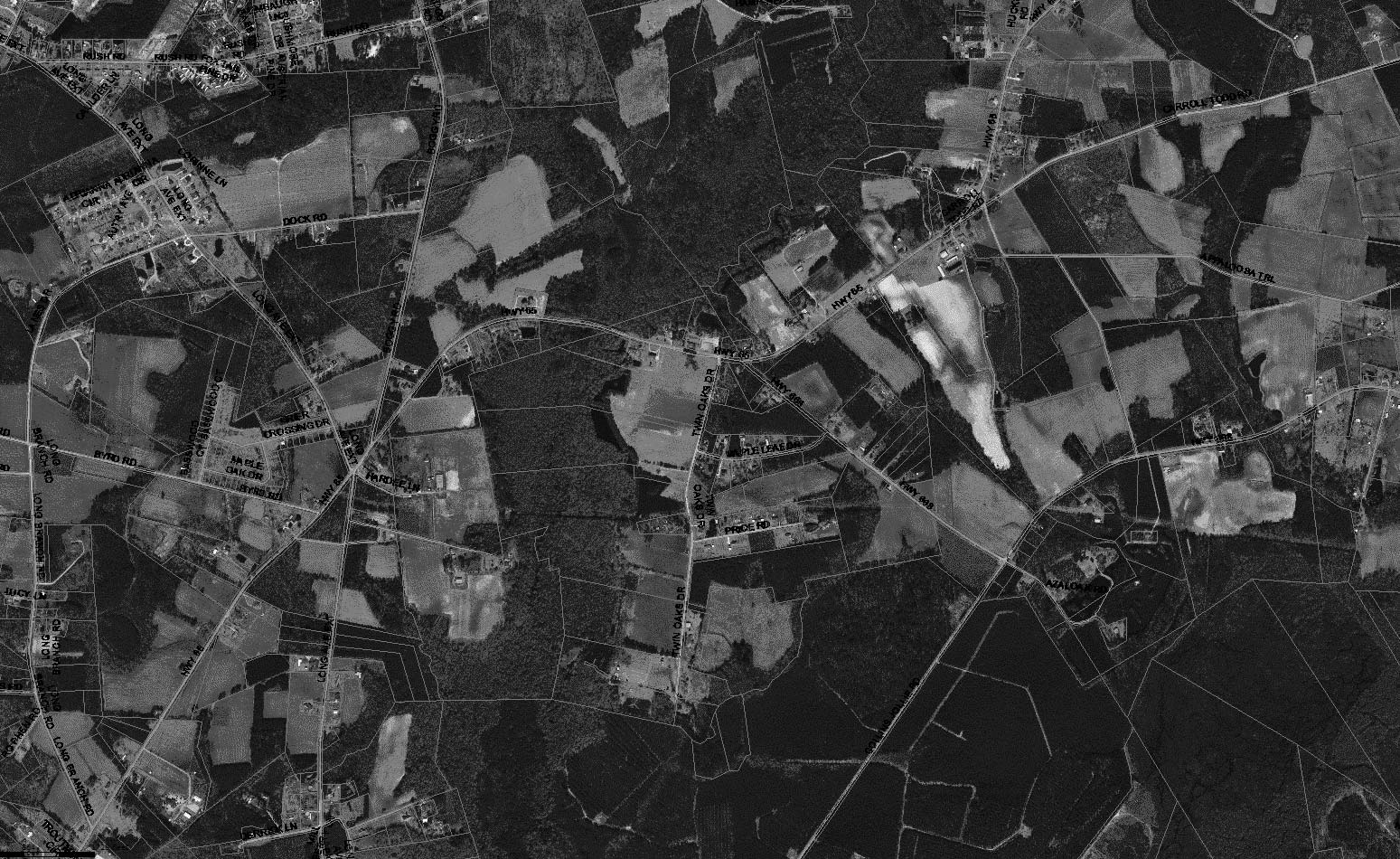
These materials are the FEMA Preliminary Flood Maps and are provided "as is" without warranty of any kind, either expressed or implied, including but not limited to the implied warranties of merchantability or fitness for a particular purpose. Use of these materials constitutes acceptance of this disclaimer of liability.
Data available in this map application is derived from sources including the Federal Emergency Management Agency (FEMA) and the Horry County Geographical Information System (GIS). The flood zone information and the base flood elevation data are provided by the FEMA consultant AECOM from their draft FEMA flood insurance rate maps (FIRMS) database.
Horry County does not make any warranty expressed or implied, or assume any legal liability or responsibility for the accuracy, completeness, or usefulness of any information disclosed or represented that its use would not infringe on privately owned rights.
Quick Tips: Click the magnifying glass icon on the legend on the left to search for your property. Search options include TMS#, PIN#, Owner, or Address. Once you have searched and located your property, click the layers icon on the legend on the left. There you can turn on various layers to include the current flood maps and the preliminary flood maps.
Browser Requirements: Horry County GIS applications require an HTML5 compliant browser.
I Accept These Terms - View Map - View Demo Video - Data Origination